Conservation Canvassing Support Maps
| for | Environmental Support Center |
| status | complete |
| as of | November 2012 |
A series of web maps illustrating the political geography of the Kamloops region, allowing local conservation campaigners to maximize their volunteer outreach time.
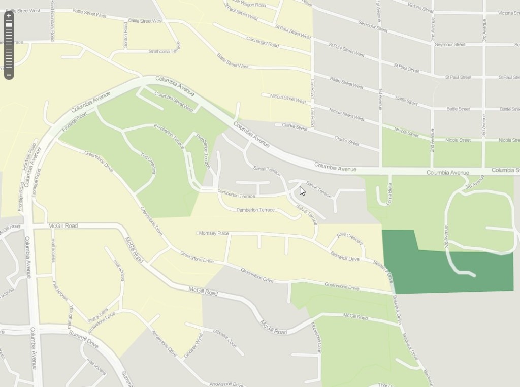
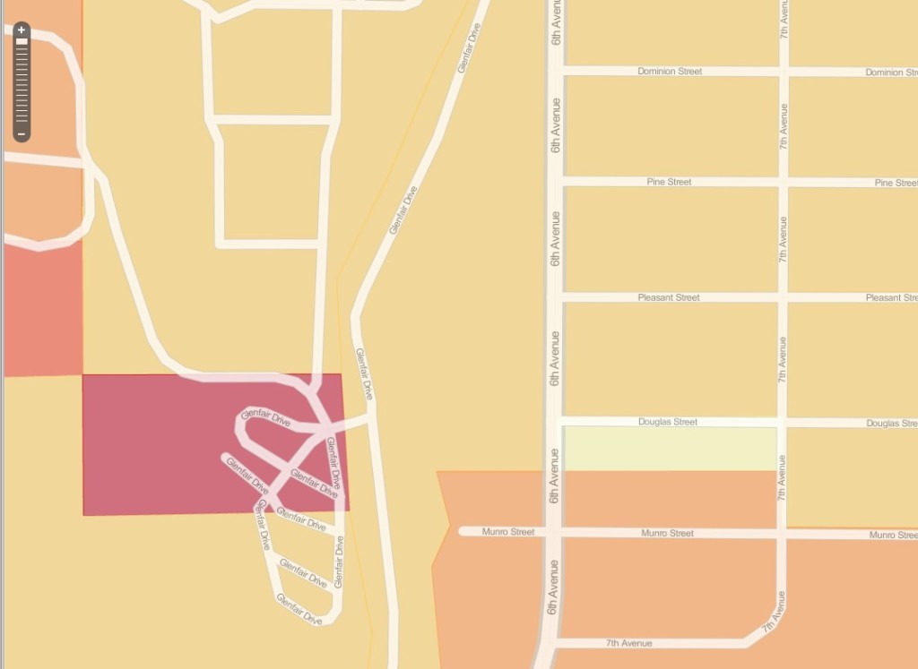
We created a series of web maps of Kamloops political geography to support a community organization working on a local conservation issue. Mapping voting habits allows small groups to plan their campaigns efficiently and generate the biggest impact from their volunteers’ door-knocking time.
We used public data from Elections Canada and Elections BC, and made maps of voting outcomes and patterns over time.
Web maps like these don’t print as nicely as conventional cartography, but they have the advantage that they can be quickly produced and allow campaigners to zoom to the regions that they are most interested in. This is of particular importance in a region like Kamloops that contains dense urban centers that are difficult to see on a map that also contains large surrounding rural areas.