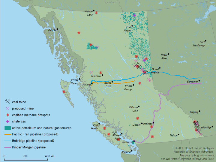
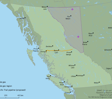
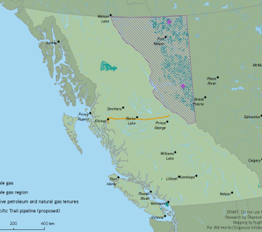
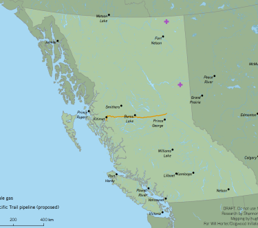
BC Resource Extraction Presentation Maps
| status | completed |
| as of | January 2010 |
summary
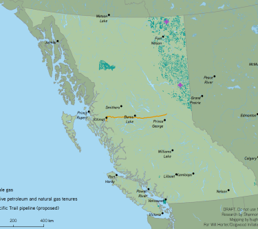
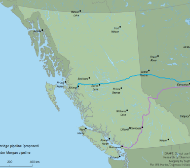
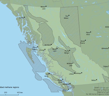
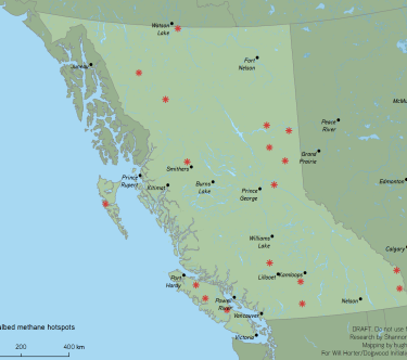
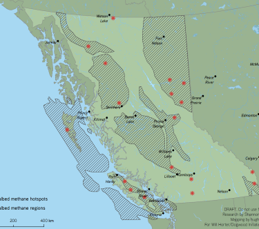
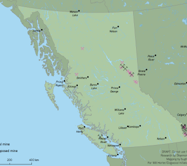
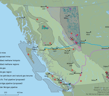
Will Horter of the Dogwood Initiative needed maps which would quickly depict the scale of planned and implemented resource extraction development in BC.
The maps were designed for use in Powerpoint slides, and the cartography was chosen to display well when projected and to be quickly digestible by the audience.
