Freshwater Stories Map
| for | World Wildlife Fund Canada |
| with | Fathom 6 Strategies |
| status | pilot live |
| as of | July 2014 |
A map and video list to share stories about freshwater from across Canada, with options to sort, colour, star and filter according to the content of the stories and the character of the story tellers.
If you ask people, it turns out just about everybody has a story to tell about a lake or river or creek or pond that’s been important to them. World Wildlife Fund Canada teamed up with Fathom6 Strategies and freshwater advocacy organizations across the country to gather those stories as videos and text.
As part of pilot project to explore methods of map-based story telling Geocology built a map to feature those stories. Here’s the map.
Read more about the project on the WWF Blog.
“When we hear people describe their memories of places that are important to us, it reinforces a shared identify and reminds us that we’re all connected through water.”
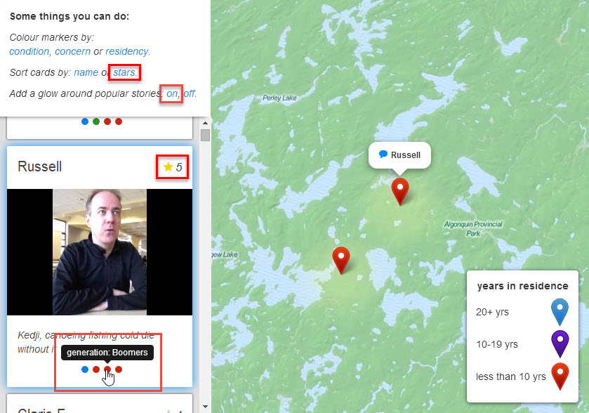
The map features
- a scrolling list of cards displaying the videos and text that people have shared,
- links between the cards and the map so that clicking on one focuses the other,
- the ability to star favourite stories and sort by stars,
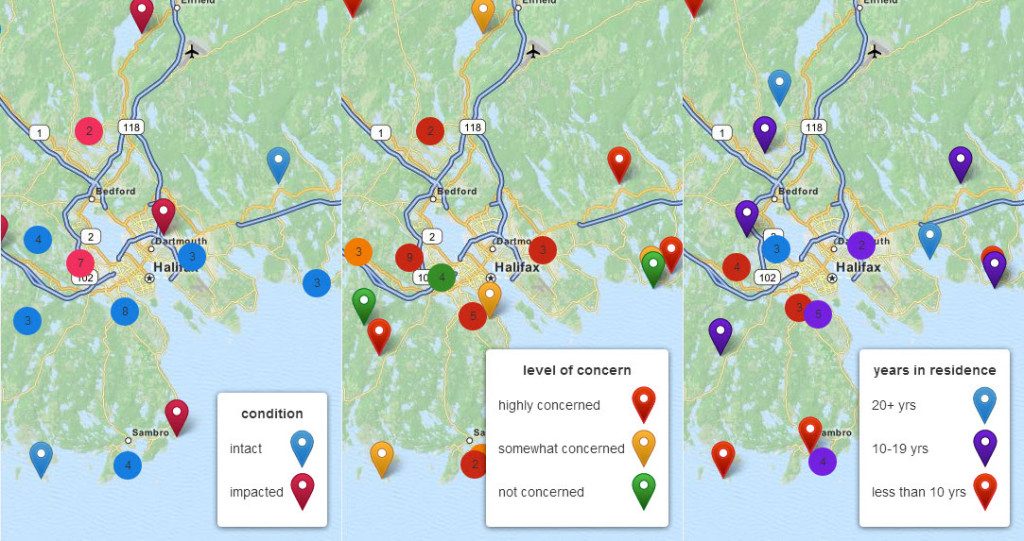
- the ability to categorize the map markers depending on the types of stories and storytellers,
- a glow that can be turned on around the most popular stories.
In order to implement these features the map was built using Leaflet.js and a healthy dose of custom JavaScript.