Dual-season remote sensing of dry dipterocarp forest
| for | Smithsonian Conservation GIS Lab |
| with | Dr. Peter Leimgruber |
| status | completed |
| as of | February 2005 |
summary
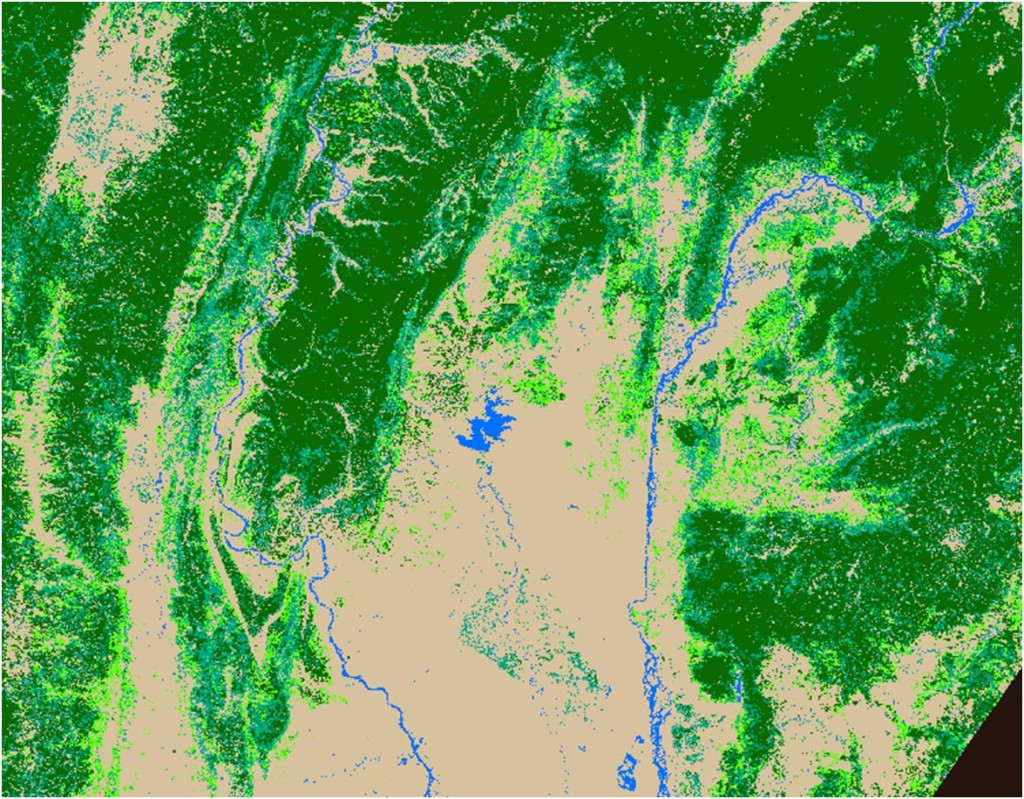
Dry dipterocarp forest is an endangered South Asian habitat type. Conservation is difficult because few good maps exist: dry dipterocarp is particularly hard to detect using conventional remote sensing. Working with an extensive set of ASTER and MODIS satellite images, we developed a multi-season multi-satellite methodology for mapping this illusive landcover.